
Michelin Map France 2026
Michelin Map France 2026
Couldn't load pickup availability
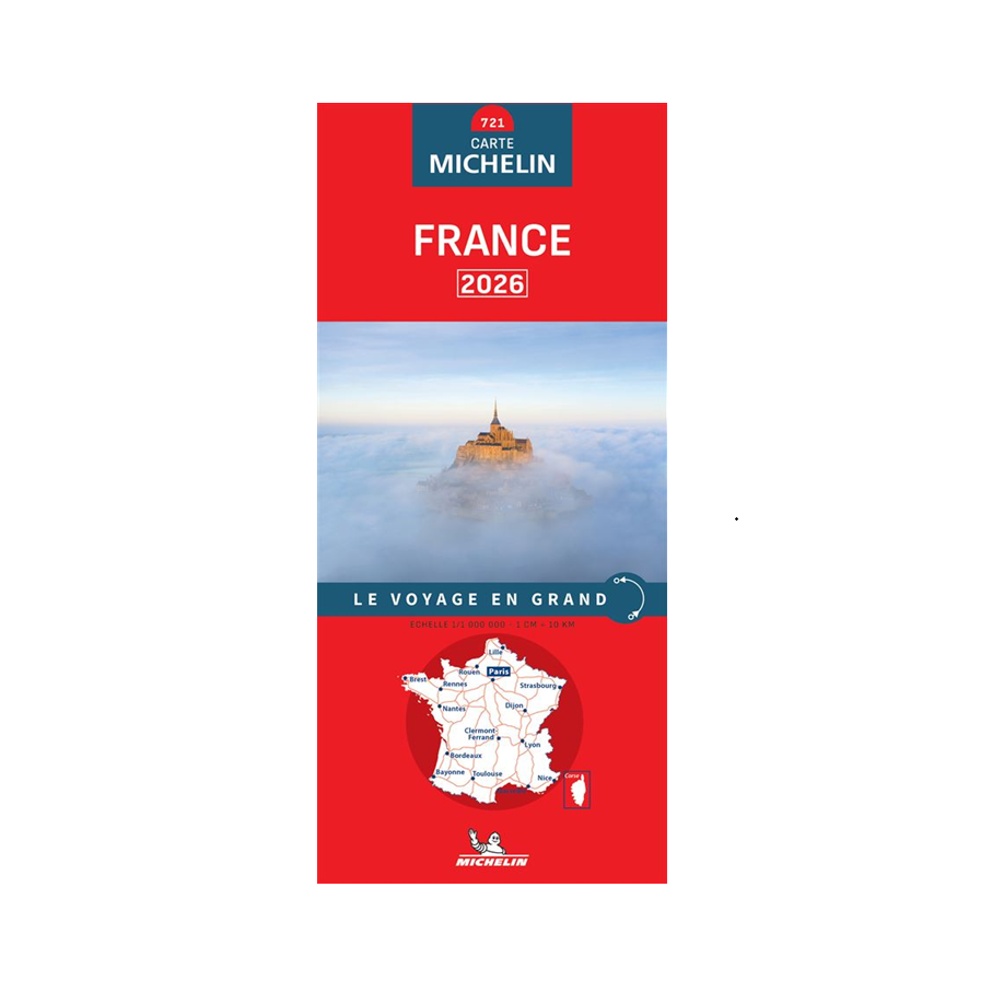
The Michelin France 2026 Map at 1:1,000,000 offers a comprehensive and clear view of French territory, ideal for planning a journey, organizing a road trip, or keeping a reliable navigation solution as a complement to a GPS.
Thanks to its clear and regularly updated cartography, it allows for quick identification of major roads, recommended routes, and main towns. Its practical format makes it easy to use both in the car and for trip planning.
In addition to essential road information, this map includes useful data such as distances, estimated travel times, and a selection of tourist sites from the Michelin Green Guide.
Simple, efficient, and independent of any battery or network connection, it remains an essential tool for stress-free travel or as a reliable backup solution.
Technical specifications
⌄
- Michelin France Road Map 2026 edition
- Scale 1:1,000,000 (1 cm = 10 km)
- Clear and readable overview of the territory
- Detailed and updated cartography
- Integrated recommended routes
- Practical information: distances and travel times
- Index of localities included
- Selection of sites from the Michelin Green Guide
- Reliable alternative or complement to a GPS
| Feature | Detail |
|---|---|
| Product | France Road Map 2026 |
| Brand | Michelin |
| Scale | 1:1,000,000 |
| Correspondence | 1 cm = 10 km |
| Coverage | All of France |
| Format | 11.3 × 0.9 × 25 cm |
| Type | Paper road map |
| Edition | 2026 |
WildTactic tip:
A paper map remains a valuable tool in case of battery failure, loss of network, or navigation outside mobile coverage. It also allows for a better visualization of a global route than a classic GPS.
Delivery & lead times
⌄
Shipping from Belgium. Delivery usually takes 2 to 5 business days depending on the carrier and destination.
Returns & warranty
⌄
Free returns within 14 days. Satisfaction guaranteed or your money back.
Share